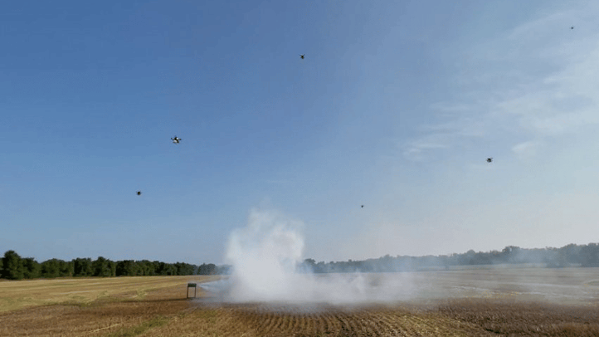
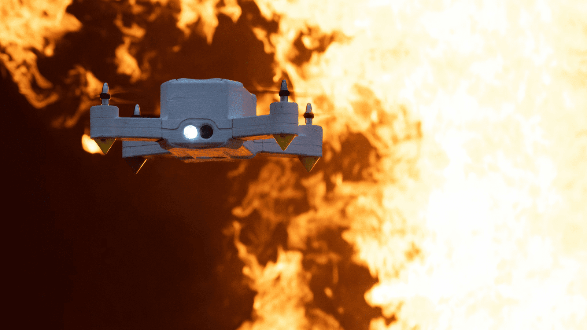
Researchers at the University of Minnesota Twin Cities have developed AI-guided drones that fly into wildfire smoke, gathering data to predict where the plumes will drift.
Drones Fighting Fires

Combining artificial intelligence, sensors, and coordinated drone swarms, the machines can detect, track, and map smoke plumes in real time. This will help scientists understand how pollutants move through the atmosphere and how smoke particles move and disperse.
According to Jiarong Hong, professor in the Department of Mechanical Engineering and senior author, smaller particles can travel longer distances, impacting the air quality far from where the fire originated. The robots recognize wildfire smoke and fly into it, collecting data from several angles to create 3D reconstructions of plumes.
“This approach allows for high-resolution data collection across large areas—at a lower cost than satellite-based tools,” said Nikil Nrishnakumar, graduate research assistant at the Minnesota Robotics Institute and first author. “It provides critical data for improving simulations and informing hazard response.”
Though previous modeling systems could capture fire and smoke behavior, the data accuracy and field observations were imperfect. According to Interesting Engineering, when the new coordinated system was tested, the robots were able to track the plumes in real time and produce flow pattern analyses.
The next goal for the project is to turn the system into a practical tool for early fire detection. The technology’s applications may even go beyond wildfires, improving monitoring systems for sandstorms, volcanic eruptions, and other airborne hazards.
“Early identification is key,” Hong said. “The sooner you can see the fire, the faster you can respond.”
In addition to exploring other applications, the team is working to refine their design further. They’re exploring fixed-wing VTOL drones, which can take off vertically and fly for more than an hour. This boost in endurance may be more beneficial for wide-area surveillance.
This new technology may allow scientists and communities alike to respond to wildfire threats faster and reduce the health impact from wildfire smoke.


