NASA is taking part in a crucial effort to aid the ongoing recovery operations near Kerrville, Texas, following the devastating flooding. According to the space agency, they’re deploying two specialized aircraft to support state and local authorities. The response is part of NASA’s Disasters Response Coordination System.
NASA Flood Response

NASA’s deployment is crucial because persistent cloud coverage hinders clear satellite imagery, vital to assessing flood damage. The Disasters Program coordinated with NASA to conduct a series of flights designed to gather observations of impacted regions. This data is then shared directly with emergency response teams. The crucial data informs search & rescue teams, aids decision-making, and optimizes resource allocation.
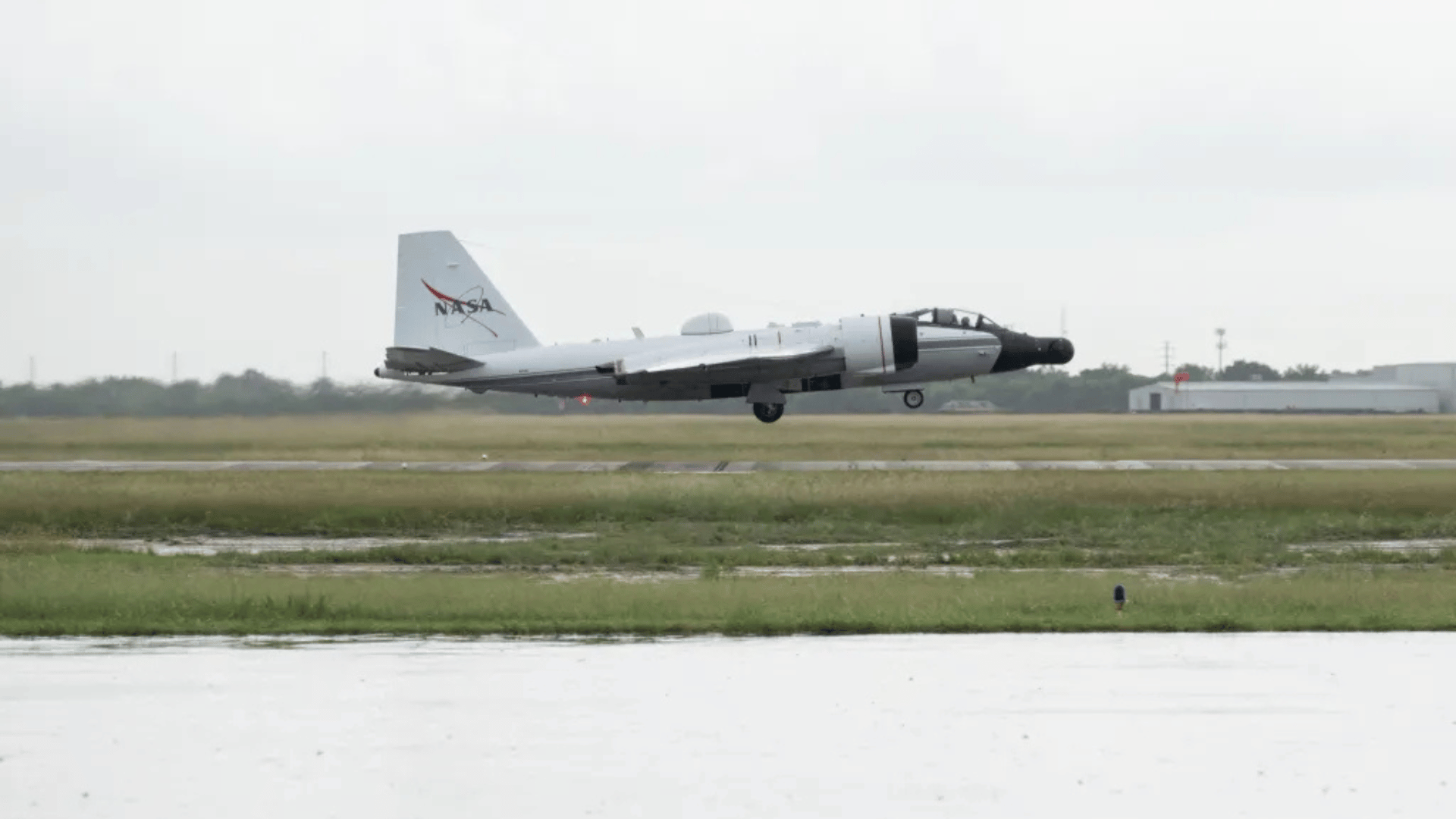
NASA deployed one of the aircraft on July 8. The high-altitude WB-57 has the advanced DyNAMITE (Day/Night Airborne Motion Imager for Terrestrial Environments) sensor. According to NASA’s press release, the DyNAMITE sensor has high-resolution imagery “critical to assessing damage and supporting coordination of ground-based recovery efforts.”
NASA says the system is capable of real-time data collection and analysis, which can significantly enhance awareness and accelerate emergency response times.
Additionally, NASA deployed the Uninhabited Aerial Vehicle Synthetic Aperture Radar (UAVSAR). The UAVSAR team plans to collect observations over the Guadalupe, San Gabriel, and Colorado river basins.
Researchers say UAVSAR’s key advantage is its ability to “penetrate vegetation to spot water that optical sensors are unable to detect.” This unique capability allows the team to characterize the full extent of flooding. Furthermore, it provides a more accurate understanding of damage within communities.
NASA coordinates all flight operations and data collection with FEMA, the Texas Division of Emergency Management, and local responders. According to the agency, it wants to ensure that the imagery and data are “rapidly” delivered to ground crews making critical decisions. In addition, NASA is actively producing maps and data to target precise locations and severities of flooding.
NASA continuously makes the vital data sets available on the NASA Disasters Mapping Portal.


