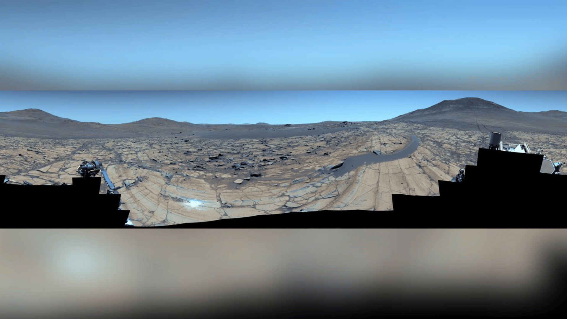
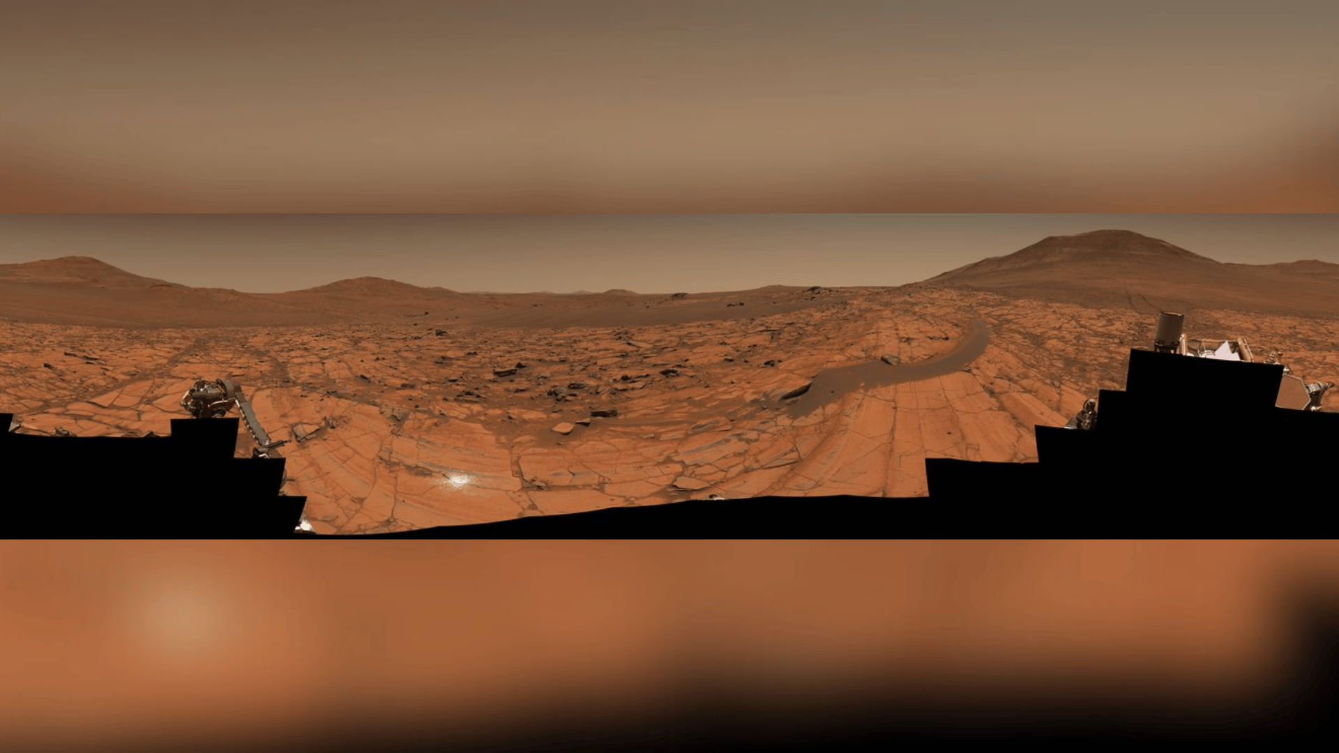
NASA’s Perseverance rover captured one of the highest-resolution 360° panoramas ever captured on Mars.
The Perseverance rover began its mission in February 2021. It originally landed in the Jezero Crater, a location selected because it was a promising candidate for ancient life on Mars. Since landing on Mars, it’s journeyed over 22 miles (over 36 kilometers) searching for evidence of ancient water and life.
Mars Like You’ve Never Seen It Before

According to IFL Science, the newly released image is a composite of 96 images taken by NASA’s Perseverance rover on May 26, 2025. The photos were meticulously compiled to create a 360° panoramic image.
The colors in the image were enhanced to emphasize the details and contrast between the terrain and sky. So, the sky, for example, appears bluer in this image than it would to the naked eye.
“The relatively dust-free skies provide a clear view of the surrounding terrain. And in this particular mosaic, we have enhanced the color contrast, which accentuates the differences in the terrain and sky,” Jim Bell, the principal investigator of Mastcam-Z, the instrument used to capture the images, from Arizona State University, said in a statement.

According to the science team behind the project, one notable feature in the image is a chunky rock residing on a dark, crescent-shaped sand ripple. Located approximately 14 feet (4.4 meters) to the right of the mosaic’s center, these features are called “float rocks” because they likely originated from another area before being relocated. However, it’s unclear whether this particular rock was moved via flowing water, strong winds, or a landslide.
Researchers also noted the bright white splodge left of center near the bottom of the image. This is called an “abrasion patch” or a small mark created by Perseverance drilling the land for samples. The “proximity science” patch captured in the image was reportedly created a few days before the image was taken, as the area is some of the oldest terrain Perserverance has ever explored.


