Advertisement
Two NASA satellites are in low orbit demonstrating novel technologies. The technologies observe atmospheric gases, measure freshwater, and even detect signs of potential volcanic eruptions.
The Satellites
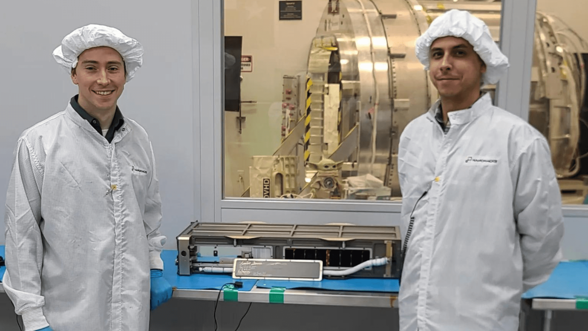
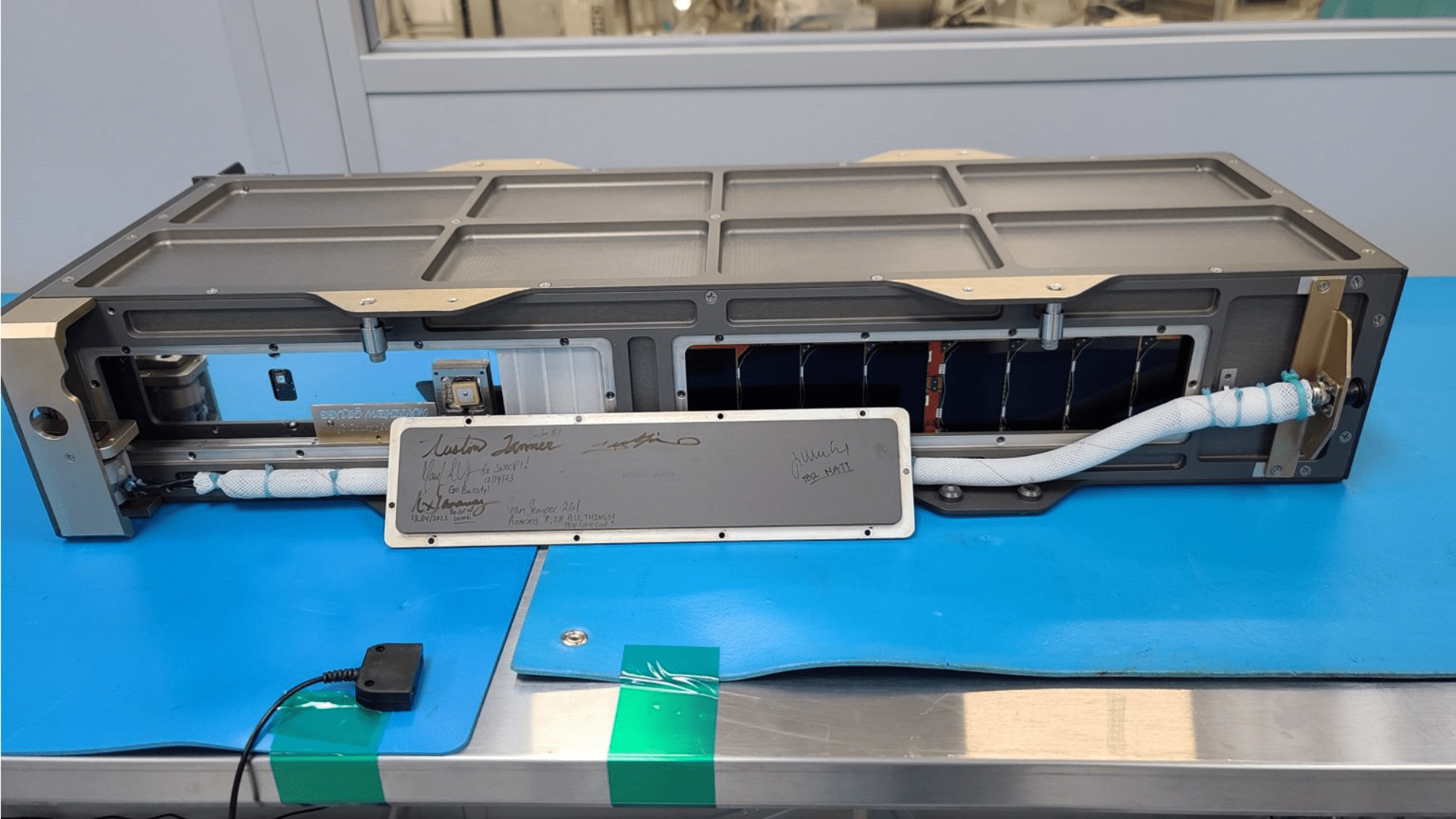
The Signals of Opportunity P-Band Investigation (SNoOPI) is a low-noise radio receiver. This satellite tests a new technique that measures root-zone soil moisture. It does this by harnessing radio signals produced by commercial satellites. The 6u CubeSat is the size of a shoebox with a big job.
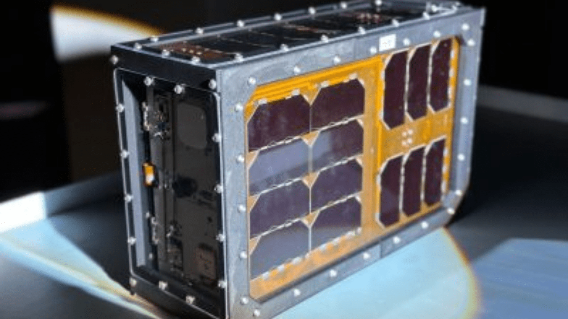
Separately, there is the Hyperspectral Thermal Imager (HyTI) that measures trace gases linked to volcanic eruptions. Volcanoes emit magmatic gases that announce the movement of magma below the Earth’s surface. These serve as an early warning sign of an eruption. HyTI is also a small 6u CubeSat that could pave the way for future missions dedicated to detecting volcano eruptions weeks or months in advance.
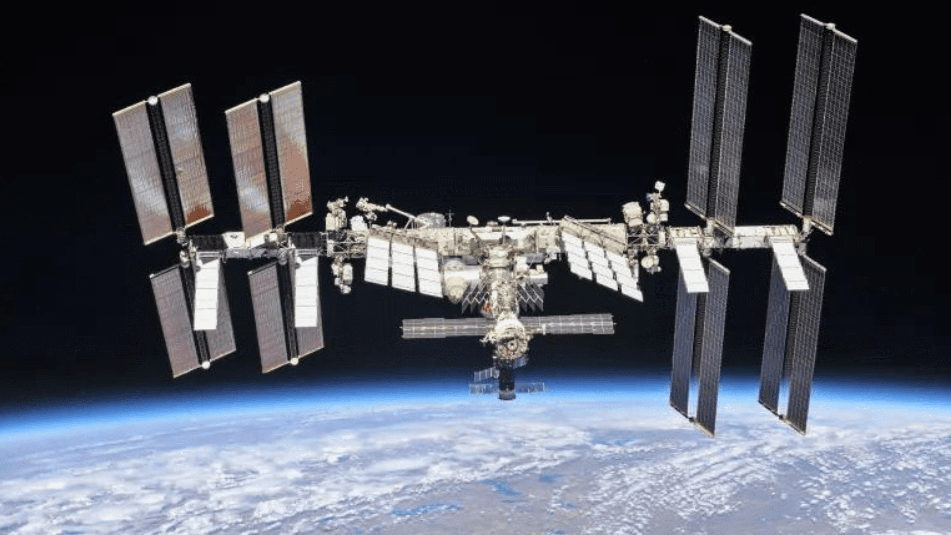
NASA launched both satellites on March 21 from the Cape Canaveral Space Force Station to the International Space Station. They were sent to orbit from the ISS on April 21.
Finding Freshwater in Soil and Snow
James Garrison is a professor of aeronautics and astronautics at Purdue University and principal investigator for SNoOPI. He said that as a measurement technique, “signals of opportunity try to reutilize what already exists.” Additionally, Garrison and his team want to collect P-band radio signals from commercial telecommunications satellites. They want to repurpose these signals for science applications.
For example, the instrument utilizes space-based assets already in orbit, transforming existing radio signals into research tools.
“By looking at what happens when satellite signals reflect off the surface of the Earth and comparing that to the signal that has not reflected,” said Garrison, “we can extract important properties about the surface where the signal reflects.”
Furthermore, P-band radio signals are powerful. For example, these signals can penetrate Earth’s surface to a depth of about one foot. This is why they are ideal for measuring moisture levels in soil and snow.
“By monitoring the amount of water in the soil, we get a good understanding of crop growth. We can also more intelligently monitor irrigation,” said Garrison. “Similarly, snow is very important because that’s also a place where water is stored. It has been hard to measure accurately on a global scale with remote sensing.”
Predicting a Volcano Erupting
HyTI measures a broad spectrum of thermal radiation signatures. This is particularly useful for characterizing gases in low concentrations. Robert Wright is the director of the Hawaii Institute of Geophysics and Planetology at the University of Hawaiʻi at Mānoa. He is also the principal investigator for HyTI. Wright said, “I study volcanoes from space to try and work out when they’re going to start and stop erupting.”
Wright and his team hope HyTI can measure concentrations of sulfur dioxide in the atmosphere around volcanoes. Before a volcano erupts they often emit increased amounts of sulfur and other trace gases. This sometimes happens weeks to months before the eruption.
“There are two science objectives for HyTI. We want to try and improve how we can predict when a volcano will erupt and when a volcanic eruption is going to end,” said Wright. “And we’re also going to be measuring soil moisture content as it pertains to drought.”