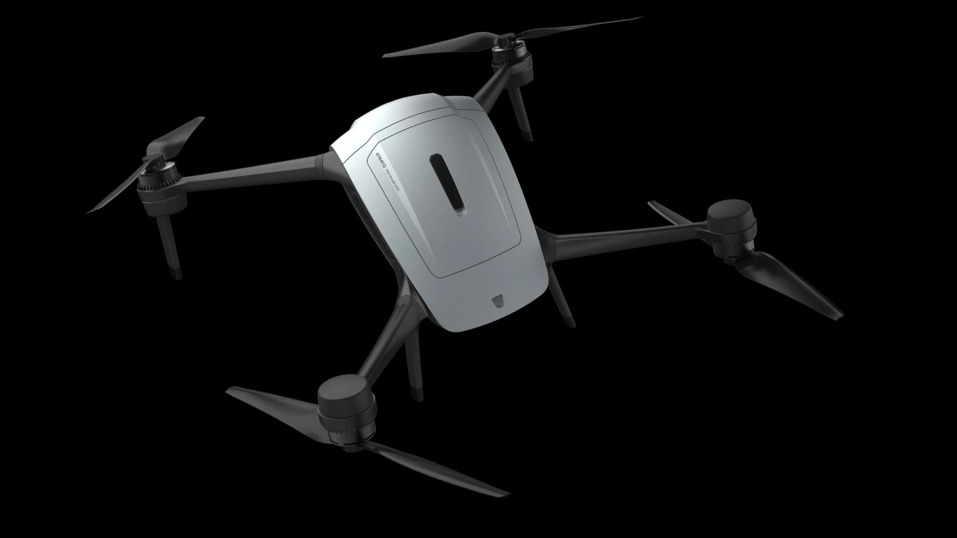
Weather forecasting is becoming more advanced as technology advances. Weather tech company Metomatics unveiled its next-generation multicopter drone, dubbed Strato.
The advanced drone recently reached a record altitude of 34,245 feet (10,438 meters), flying higher than commercial helicopters can reach. This milestone made it the first to reach the stratosphere.
Strato is built to gather a vertical profile of the atmosphere from ground level straight up to the stratosphere. It collects data on temperature, humidity, pressure, and wind speed. For nearly a century, weather balloons known as radiosondes have handled this work. However, balloons launch on fixed schedules only a couple times a day. That leaves clear data gaps in the upper troposphere, where jet streams form and sudden weather shifts occur.
Filling a Gap
Advertisement
When conditions shift fast, aviation, defense, and launch operators often make choices without location-specific weather reads. Strato addresses this gap as a reusable alternative to traditional balloons. It can launch almost 20 feet higher than the classic Meteodrone, fly to a target location, and return ready to launch again right after landing.
“Ten years ago, a drone that effectively flew into the stratosphere to collect weather data was a pipe dream. Today, we’ve made it a reality,” said Dr. Martin Fengler, CEO of Meteomatics. “The jet stream is basically the highway that every weather system travels on in the Northern Hemisphere, west to east. For the aviation industry, accurate insights into this area are integral not only to business success, but to consumer lives. If the data isn’t located correctly relative to the jet stream, the forecast won’t be reliable either. With Strato, we are looking to fill a century-old blind spot for these businesses globally.”
A Drone Made for Harsh Skies
Operating in the upper atmosphere requires tough hardware. According to the company, Strato can withstand sustained winds up to 80 mph using an aerodynamic body and active controls to turn directly into headwinds. A waterproof design handles wet weather, while an active de-icing system heats the propellers automatically when ice is detected. Throughout each flight, the drone sends real-time telemetry like altitude, wind, temperature, and icing alerts to operators.
The collected data supplements Meteomatics’ high-resolution weather models, including US1k and Euro1k, helping create a more accurate and sustainable approach to forecasting.
 Read Exclusive Stories
 Bookmark & Save Articles For Later